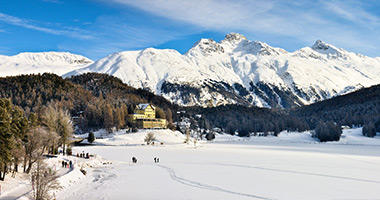
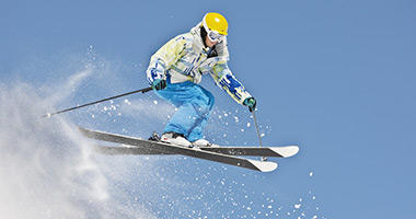
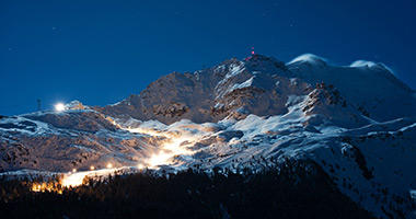
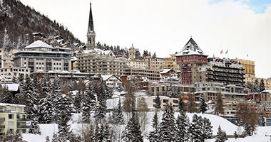
St Moritz's cultural mix of Germanic traditions, Romansch language and proximity to Italy create a unique village experience. The resort boasts 350 combined kilometres and 88 trails across three main mountains – Corviglia, Corvatsch and Diavolezza – offering plenty of downhill to keep enthusiasts occupied.
For more information regarding St Moritz ski holidays contact a friendly Flight Centre consultant and don't forget to ask about our great deals on hotels, tours, travel insurance, transfers and more.
Fast Facts
Ski Season:
Late November - Late April
Opening Times:
8.30am - 4.30pm
Terrain Grades:
20% beginner, 70% intermediate & 10% advanced
Elevation:
1860m base elevation, 3000m top elevation
Lifts:
56 lifts
Ski School:
Child and adult ski school catering to all ski and snowboard abilities
Cost of a Day Pass:
AU$81
Car parks:
There are many parking areas available at the resort.
Getting There
The nearest significant airports to St Moritz are in Zurich, Geneva, Basel, Milan and Munich. There are domestic flights to nearby Engadin Airport. Book flights online
Accommodation
There is a large variety of accommodation options in St Moritz catering to all tastes and budgets. Book accommodation online
Car Hire
If you'd like to explore more of Switzerland, hire a car at your arrival airport. Chains are essential so be sure to hire them also. You can book your car online to guarantee availability.
Travel Insurance
Skiing and snowboarding are great activities. So you can enjoy the snow with peace of mind, consider travel insurance for your winter holiday.
Events
St Moritz hosts many winter events including the St Moritz City Race, the Engadin Nordic Opening and the Weltcup Bob and Skeleton.
All Inclusive Packages
For an all inclusive ski holiday package including flights, tours, ski passes and more please contact a Flight Centre consultant on 133 133 or fill in the enquiry form below.
Trail Maps
Download the below PDFs for detailed maps of the different trails available at St Moritz's three mountains - Corviglia, Corvatsch and Diavolezza. On these maps, blue lines represent beginner trails, red are intermediate, black are advanced, and orange lines are extreme trails.


